We created a map for Adams Morgan history as part of outreach with our community storytelling system.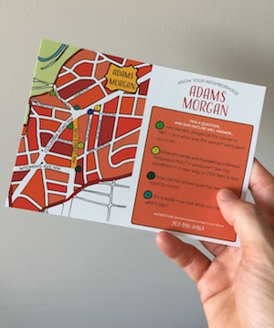
The clues at right are designed to be provocative… and can be answered by texting our hotline. The twist is that the answer comes in the form of a historic photograph, primarily from the Smithsonian Anacostia Museum’s exhibit “A Right to the City.”
Simply interested in the history? Cycle through some historic pictures using our hotline with the keyword “PIC.”
Even though the map launched for our activities at Adams Morgan Day (40th annual!), we made it to be evergreen — so we can keep distributing it for future activities and neighborhood outreach.
Thanks to Carolyn Thaw for postcard graphic design; she is also behind the map that covers the Humanities Truck.